Place Editor
The place editor allows you to visualize public and custom (private) places on a map, often as a way to explore or verify a location within a TMS or other system that integrates data from the Places API.
The editor can also be used to add custom information to public places or update the information in one of your account’s custom (private) places.
Using the place editor
- Authenticate your API call.
- Retrieve the
placeIdfor the place you want to visualize. - With that ID, make a GET call to /place/{placeId}/editor.
- A
urlis returned in the response that opens the editor for the givenplaceId.
Sample request
https://api.trimblemaps.com/places/v1/place/0xQLuvTs3yHk-XPTIfmvk3Rw/editor
Sample response
{
  "url": "https://contenttools.alk.com/place-editor/autologin/eyJhbGciOiJIUzI1NiIsInR5cCI6IkpXVCJ9.eyJvaWQiOiI1MDAwMDI0MjUiLCJleHAiOjE2NDY3NzUxODUsIm5iZiI6MTY0Njc1MzU4NSwiaWF0IjoxNjQ2NzUzNTg1fQ.R3KsVMrytHVnOgyVFLXLEmFNM88L2aBhb7cc9RGST5M/1500728388",
  "expires": "2022-03-08T21:33:05.8618417Z"
}
Place editor page
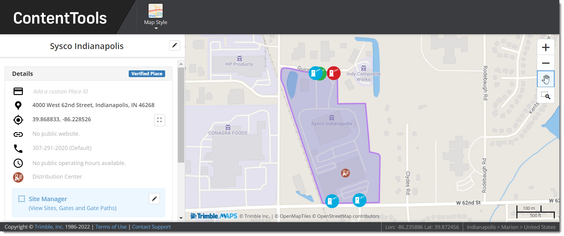
The url returned by the GET call launches a place editor page. (The page expires within 12 hours as part of the authentication process.) Below is the page for the public place (a Sysco distribution center) returned by the sample request above. The map view is the same as you would see in the ContentTools web tool, but its functionality is limited to that single location.

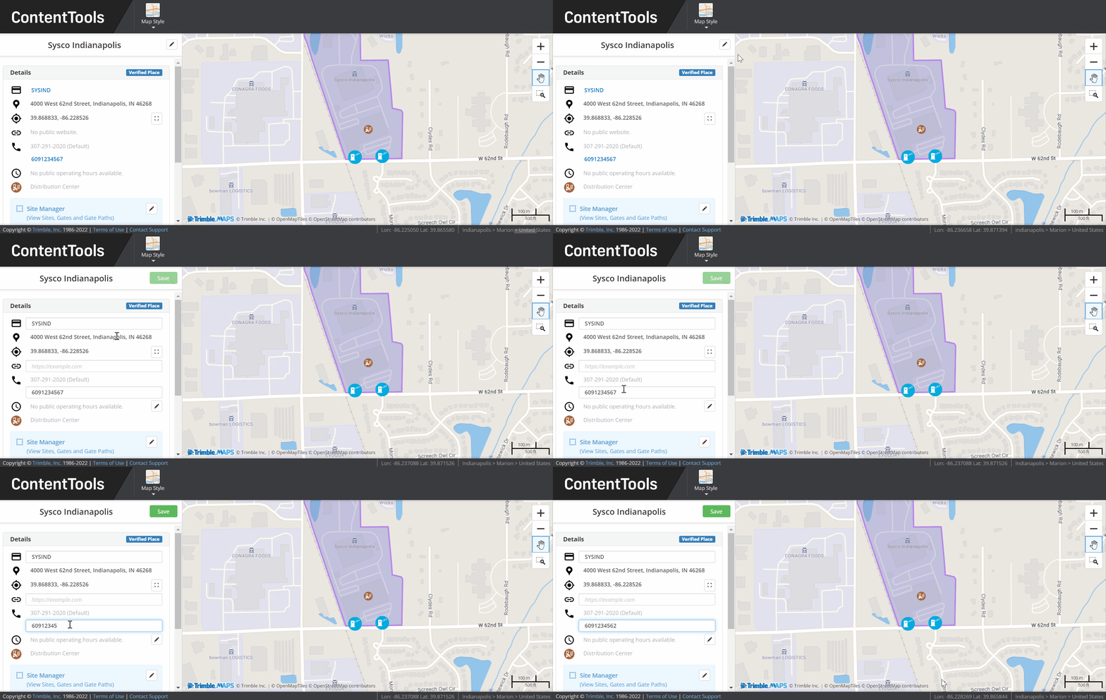
Editing a place
The editing feature in the Place Editor also works the same as it does in ContentTools. Click the pencil icon at the top of the place’s information to get started. You will see a text box or a pencil icon next to any fields that can be edited. Click Save to finish.
