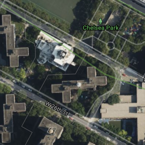
Satellite

The satellite imagery layer is included in the satellite styles. Trimble Maps provides one set of satellite imagery with the SDK. Other options are available as a premium offering. Contact Sales for more information on licensing.
The included set of satellite imagery is enabled and visible by default in the satellite style. Premium Satellite imagery licensees can change the active imagery by setting the satelliteProvider map option.
This option can be set at map initialization.
    const map = new TrimbleMaps.Map({
        container: "map",
        zoom: 15.4,
        center: [-75.163132, 39.951872],
        region: TrimbleMaps.Common.Region.NA3,
        style: TrimbleMaps.Common.Style.SATELLITE,
        language: TrimbleMaps.Common.Language.EN,
        hash: true,
        satelliteProvider: TrimbleMaps.Common.SatelliteProvider.SAT1, // satellite source provider
    });
or after map load
    map.on("load", function () {
        setTimeout(function () {
            console.log(map.isStyleLoaded());
            console.log(map.getStyle());
            if (map.isStyleLoaded()) {
                map.setStyle(TrimbleMaps.Common.Style.SATELLITE, {
                    satelliteProvider: TrimbleMaps.Common.SatelliteProvider.SAT1, // satellite source provider
                });
            }
        }, 10000);
    });
There are several satellite imagery options available to premium customers.
| Enumeration | Description | Requires Premium |
|---|---|---|
TrimbleMaps.Common.SatelliteProvider.DEFAULT
| Default (DigitalGlobeAPIIMagery) | No |
TrimbleMaps.Common.SatelliteProvider.ALKCURATED
| Includes TrimbleMaps curated imagery for some areas, uses DigitalGlobeAPIIMagery elsewhere | No |
TrimbleMaps.Common.SatelliteProvider.SAT1
| DigitalGlobe | Yes |
TrimbleMaps.Common.SatelliteProvider.SAT2
| DigitalGlobeConsumer | Yes |
TrimbleMaps.Common.SatelliteProvider.SAT3
| DigitalGlobeTrueCurrency | Yes |
TrimbleMaps.Common.SatelliteProvider.SAT4
| DigitalGlobeColorConsumer | Yes |
TrimbleMaps.Common.SatelliteProvider.SAT5
| DigitalGlobeAPIVivid | Yes |
TrimbleMaps.Common.SatelliteProvider.SAT6
| DigitalGlobeAPIRecent | Yes |